
Service
Drone Mapping
About the service
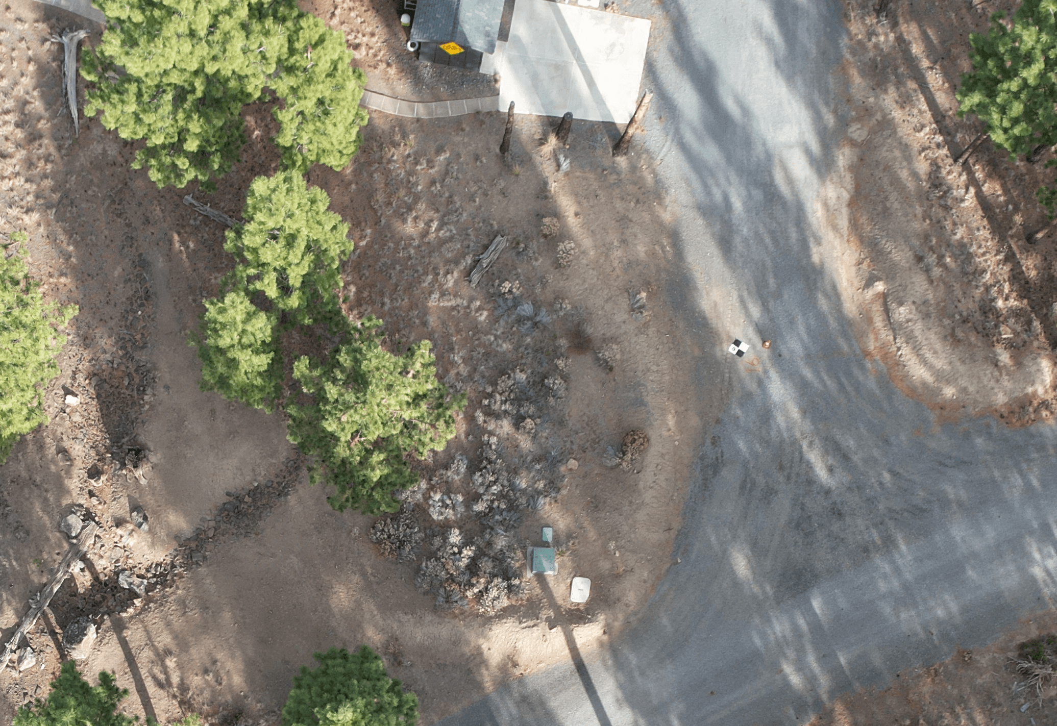
Every Terraspect mapping flight is planned for accuracy, not just coverage. We assess your site, determine optimal GCP placement, and execute flights with the overlap and resolution your project requires. Data is processed and verified before delivery — so what you receive is ready to use.
What's included
Flight Planning and Site Assessment – We review your site geometry, access constraints, and accuracy requirements before the first flight.
Ground Control Point Placement and Survey – GCPs are placed and surveyed to establish a verified coordinate framework for the dataset.
High-Resolution Image Capture – Flights are executed with calibrated sensors and planned overlap for complete, accurate coverage.
Quality Control and Accuracy Verification – Every dataset is checked against ground truth before delivery. If it doesn't meet tolerance, we fly again.
Delivery in your Required Format – Orthomosaics, point clouds, DSMs — delivered in the format your workflow already uses.
Terraspect serves land surveyors and construction teams across central Oregon. If your project requires accurate aerial data, we'll make sure you get it.