TerraSpect, a drone services company specializing in aerial solutions for civil engineering, land surveying, and data collection.
Based in Redmond, Oregon, I combine my passion for technology, mapping expertise, and hands-on drone experience to deliver precise, innovative, and cost-effective solutions for complex projects.
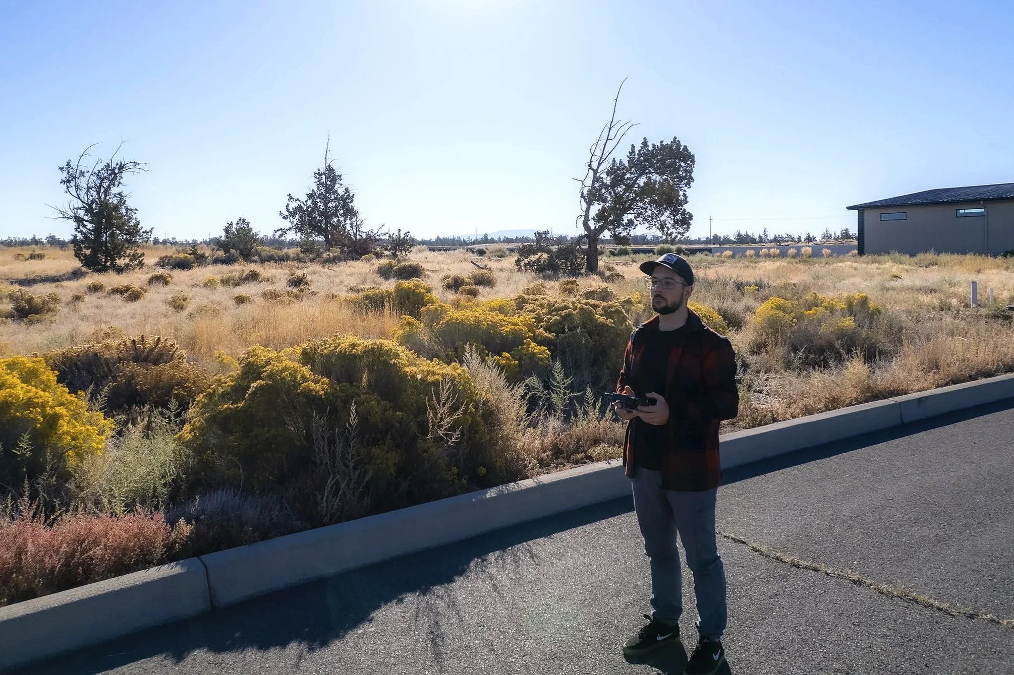
My journey with drones started in the surveying industry, where I saw how traditional methods could be slow and inefficient. Drones offered a faster, safer, and more cost-effective way to get the job done.
This discovery ignited my passion for drone technology. Over time, I went from flying drones to designing and building my own, tailoring them to the unique needs of each project.
Today, as the founder and chief pilot of TerraSpect, I bring this hands-on, innovative approach to every project. From mapping half of an entire city, to monitoring waste disposal and conducting surveys in restricted airspace, I’m proud to deliver precise, reliable, and forward-thinking solutions.
Data-Driven Results
From 3D mapping to infrastructure inspection, I use drone technology to provide accurate, reliable data that helps you make informed decisions.
Field Expertise
My background in surveying and construction allows me to understand the technical challenges of your projects and deliver solutions that meet your exact needs.
Full Compliance
I’m a licensed drone pilot (FAA Part 107 certified) and operate in strict compliance with all regulations to ensure safety and professionalism.
Interested in working together?

terraspectmapping@gmail.com