Mapping deliverables made easier.
Terraspect is a small Oregon based data collection and processing company focused on creating reliable data for engineers, surveyors and builders.
What can we do?
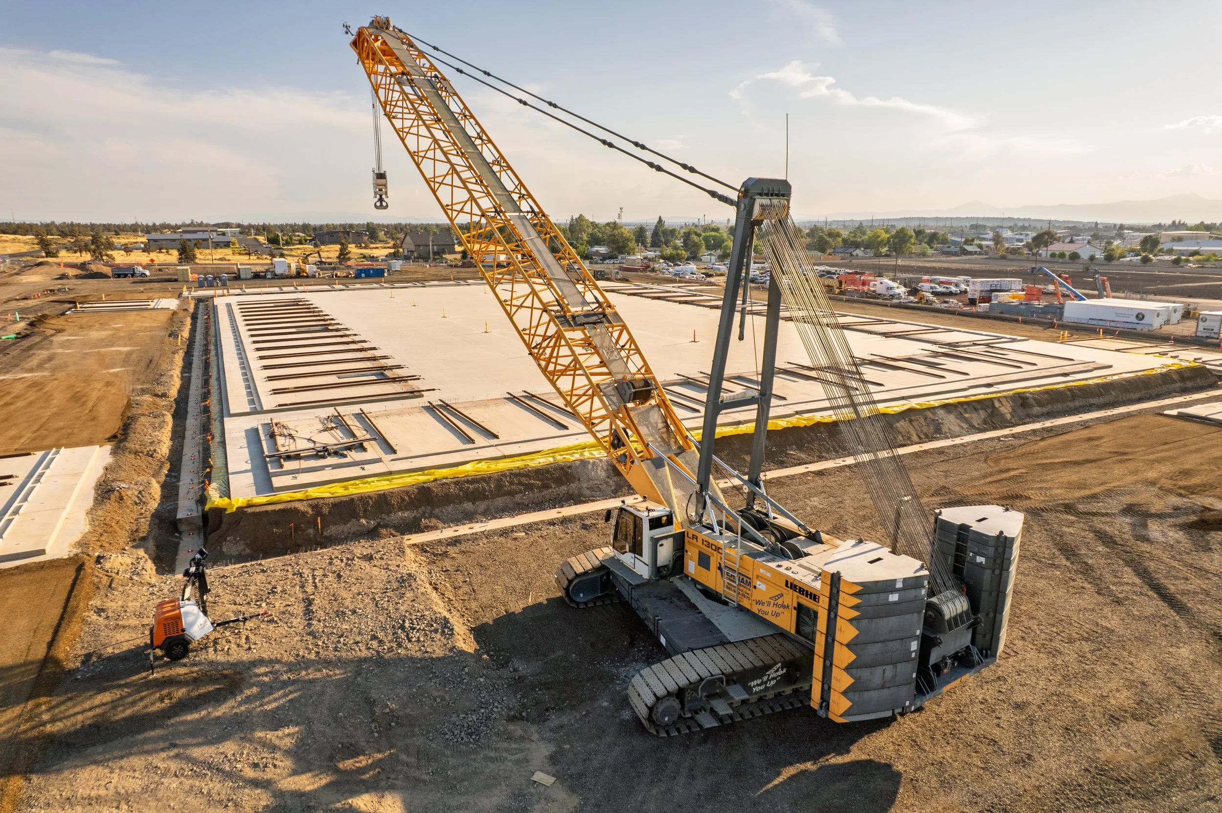
We focus on providing accurate ground data for grading, environmental projects and project planning.
Volume Calculations and EarthworksWe provide accurate quantification of stockpiles and moved earth to give a better picture of what is on site.
Environmental MonitoringWe’re passionate about nature, and making sure your impact is minimized wherever possible. We monitor erosion control techniques and work with you to reduce off-site pollution and runoff.
Quality Control and Site MonitoringProgress monitoring and documentation encourages accountability with all trades on site.
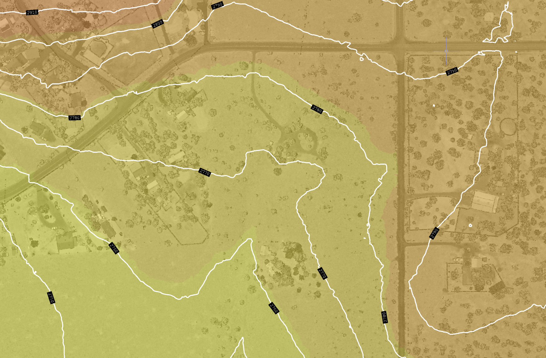
Topographic SurveysOur core work revolves around digitizing the land into usable 3D models. We can help you visualize and plan your project, or give you an idea of where your water is going.
Whether you’re looking for Point Clouds, Orthomosaics, Meshes or Surface Models, we can generate what you need.

How It Works
-
Connect with us to see if our work aligns with your goals. We will go over project goals, timelines and job requirements to align our services with your needs.
-
Review bid documentation and the begin planning stages.
-
Once the bid is accepted, we begin scheduling and collecting data for processing.
-
Data processing times may vary from project to project. This is where point clouds and surfaces are generated.
-
Final documentation. According to the approved bid, we can provide point clouds, orthomosaics, surfaces and raw data.